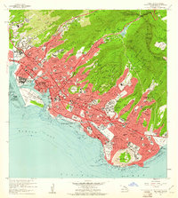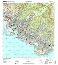
1953 Map of Honolulu
USGS Topo · Published 1956About this map
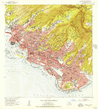
Diamond Head and the volcanic crater of Punchbowl define the dramatic topography of this mid-century survey. The urban core of Honolulu is shown in a period of significant growth, with neighborhoods expanding from the historic Honolulu Harbor into the valleys of Manoa Stream and Palolo Stream. The map details a landscape of transition where the Oahu Railway still skirts the coast near the industrial district of Iwilei, while the newer Nimitz Highway and Ala Moana Blvd handle increasing automobile traffic.
Find a feature on this map
108 named features on this map. Tap any name to fly to it.
Don’t see what you’re looking for? This feature index may not catch every label — zoom into the map to look around manually.
Map Details
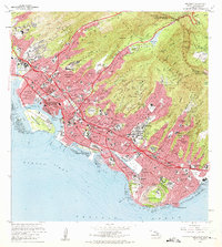
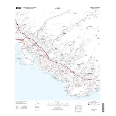
Editions of this 1953 Honolulu Map
This is the sole edition of this map. No revisions or reprints were ever made.
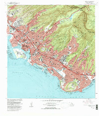
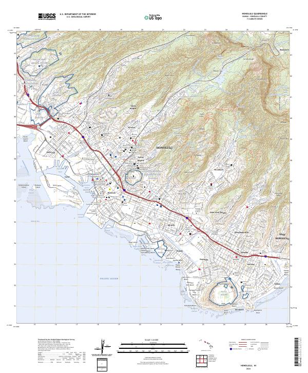
Historical Maps of Honolulu Through Time
9 maps found