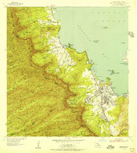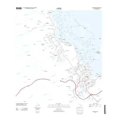
1959 Map of Kaneohe
USGS Topo · Published 1961About this map
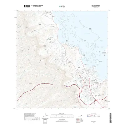
The windward coast of Oahu near Kaneohe reveals a landscape transitioning from traditional agricultural patterns to suburban development at the end of the 1950s. While residential growth expands near the Kamehameha Highway, the northern reaches remain dominated by rural settlements like Waikane and Waiahole, alongside the Waiahole Homesteads. The presence of numerous designated fishponds, such as Heeia Pond and Kahaluu Pond, highlights the enduring importance of coastal management and historical Hawaiian land use in this region.
Find a feature on this map
69 named features on this map. Tap any name to fly to it.
Don’t see what you’re looking for? This feature index may not catch every label — zoom into the map to look around manually.
Map Details
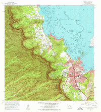
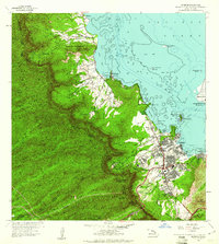
Editions of this 1959 Kaneohe Map
This is the sole edition of this map. No revisions or reprints were ever made.
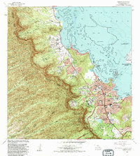
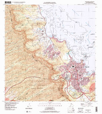
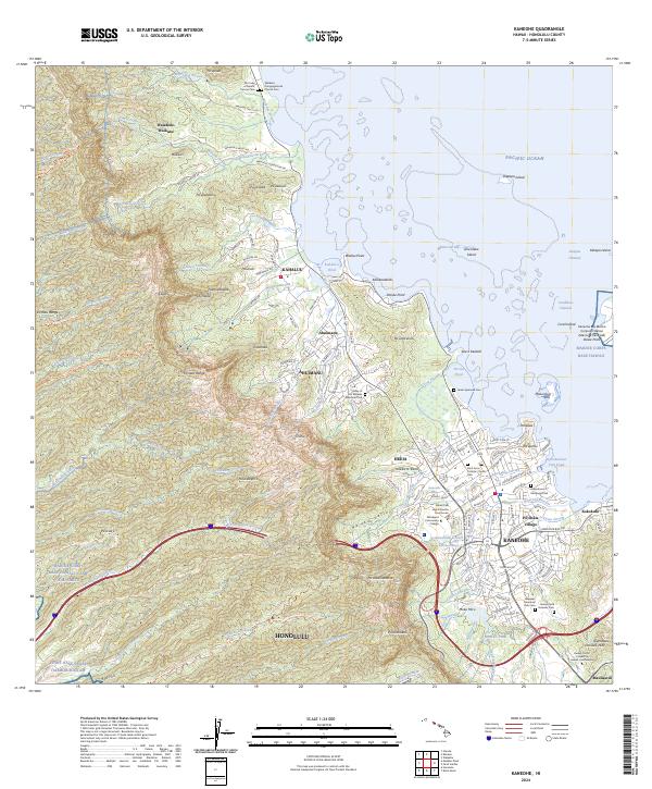
Historical Maps of Honolulu Through Time
8 maps found