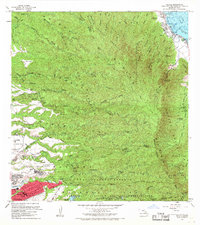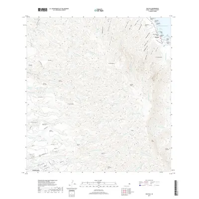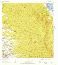
1953 Map of Hauula
USGS Topo · Published 1956About this map
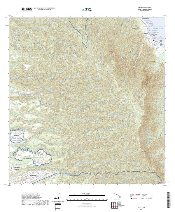
Koolau Range ridges and deep forest reserves dominate this mid-century view of Oahu's windward and interior landscapes. The coastal settlement at Hauula is bordered by the Pacific Ocean, while an Abandoned RR line suggests the changing transportation needs of former sugar plantations. To the southwest, the urban development of Wahiawa and Whitmore Village sits adjacent to major military installations, including the Schofield Barracks Military Reservation (East Range) and a Naval Reservation.
Find a feature on this map
44 named features on this map. Tap any name to fly to it.
Don’t see what you’re looking for? This feature index may not catch every label — zoom into the map to look around manually.
Map Details
Editions of this 1953 Hauula Map
This is the sole edition of this map. No revisions or reprints were ever made.
Historical Maps of Wahiawā Through Time
8 maps found