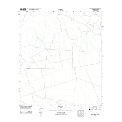
2012 Map of Hood Spring SE
USGS Topo · Published 2012About this map
Black Hill rises as a prominent landmark in this sparsely populated stretch of Brewster County, which is defined by an intricate network of ephemeral watercourses and dry washes. The landscape reflects the typical arid character of the Big Bend region, where cattle ranching and vast land holdings dictate the minimal infrastructure. Human presence is primarily marked by Dove Mountain Rd, a primary access route that cuts west-to-east across the desert floor, intersecting with smaller unimproved tracks and trails that serve the surrounding ranchlands. This survey illustrates the relationship between topography and transit in the High Desert, showing how local roads navigate the drainage patterns and slight elevation shifts around the base of the hill.
Find a feature on this map
2 named features on this map. Tap any name to fly to it.
Don’t see what you’re looking for? This feature index may not catch every label — zoom into the map to look around manually.
Map Details
Editions of this 2012 Hood Spring SE Map
This is the sole edition of this map. No revisions or reprints were ever made.
Other maps of this area

1917 · Bone Spring
USGS Topo · 1:62,500

1917 · Hood Spring
USGS Topo · 1:62,500

1918 · Bone Spring
USGS Topo · 1:125,000

1918 · Hood Spring
USGS Topo · 1:62,500

1918 · Dove Mountain
USGS Topo · 1:62,500

1918 · Bone Spring
USGS Topo · 1:62,500

1919 · Maravillas Canyon
USGS Topo · 1:62,500

1920 · Bone Spring
USGS Topo · 1:62,500

1931 · Hood Spring
USGS Topo · 1:62,500

1959 · Emory Peak
USGS Topo · 1:250,000