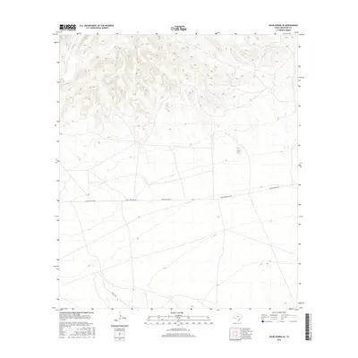
2016 Map of Hood Spring SE
USGS Topo · Published 2016About this map
Arid basin terrain and high ridges characterize this portion of the Trans-Pecos landscape as it appeared in the mid-2010s. The region is defined by significant elevation changes, with steep contours rising toward the north, giving way to broad, low-lying flats to the south. Human presence is sparse, marked primarily by the unimproved transit corridors of Dove Mountain Rd and Desert Mountain Rd, which traverse the open range from east to west. These routes provide the only consistent access through the scrub and limestone geography, while the southern reaches are reached via Dove Mt Rd. The network of intermittent drainage channels suggests a landscape shaped by seasonal rain events, common to this part of the Chihuahuan Desert.
Find a feature on this map
3 named features on this map. Tap any name to fly to it.
Don’t see what you’re looking for? This feature index may not catch every label — zoom into the map to look around manually.
Map Details
Editions of this 2016 Hood Spring SE Map
This is the sole edition of this map. No revisions or reprints were ever made.
Other maps of this area

1917 · Bone Spring
USGS Topo · 1:62,500

1917 · Hood Spring
USGS Topo · 1:62,500

1918 · Bone Spring
USGS Topo · 1:125,000

1918 · Hood Spring
USGS Topo · 1:62,500

1918 · Dove Mountain
USGS Topo · 1:62,500

1918 · Bone Spring
USGS Topo · 1:62,500

1919 · Maravillas Canyon
USGS Topo · 1:62,500

1920 · Bone Spring
USGS Topo · 1:62,500

1931 · Hood Spring
USGS Topo · 1:62,500

1959 · Emory Peak
USGS Topo · 1:250,000