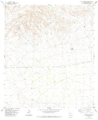
1983 Map of Hood Spring SE
USGS Topo · Published 1984About this map
Dove Mountain anchors this high-desert landscape in Brewster County, where the topography shifts from rugged peaks to vast alluvial plains. During the late 1970s and early 1980s, this area remained largely undeveloped, characterized by a sparse network of earthen routes such as Dove Mountain Road and various Jeep Trails. The reliance on local water sources is evident through the numerous Tanks and individual Tank sites scattered across the terrain, serving as essential infrastructure for ranching operations. To the northeast, the distinct rise of Black Hill stands out against the surrounding flats. Precise survey markers like BM 2804 and BM 2796 delineate the elevation changes along the primary road, offering valuable data points for those studying the physical geography of the Big Bend region.
Find a feature on this map
13 named features on this map. Tap any name to fly to it.
Don’t see what you’re looking for? This feature index may not catch every label — zoom into the map to look around manually.
Map Details
Editions of this 1983 Hood Spring SE Map
This is the sole edition of this map. No revisions or reprints were ever made.
Other maps of this area

1917 · Bone Spring
USGS Topo · 1:62,500

1917 · Hood Spring
USGS Topo · 1:62,500

1918 · Bone Spring
USGS Topo · 1:125,000

1918 · Hood Spring
USGS Topo · 1:62,500

1918 · Dove Mountain
USGS Topo · 1:62,500

1918 · Bone Spring
USGS Topo · 1:62,500

1919 · Maravillas Canyon
USGS Topo · 1:62,500

1920 · Bone Spring
USGS Topo · 1:62,500

1931 · Hood Spring
USGS Topo · 1:62,500

1959 · Emory Peak
USGS Topo · 1:250,000