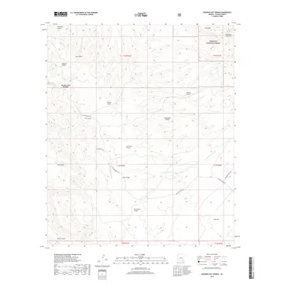
2018 Map of Hookers Hot Springs
USGS Topo · Published 2018About this map
Hookers Hot Springs serves as the focal point for this high-desert landscape in southeastern Arizona, situated at the southwestern edge of the Winchester Mountains. The terrain is defined by a series of deep drainage systems, most notably Hot Springs Canyon and Bass Canyon, which flow through the transition between high ridges and the wide expanse of Allen Flat. A network of ranch roads, including Muleshoe Ranch Rd and Warbonnet Ranch Rd, provides access across private holdings and the southwestern reaches of the Coronado National Forest. This 2018 survey detail provides modern clarity on the distribution of vital water sources in this arid environment, marking seasonal features like Riggs Seep and Hot Springs Canyon Cr that have likely dictated local land use and ranching boundaries for generations.
Find a feature on this map
31 named features on this map. Tap any name to fly to it.
Don’t see what you’re looking for? This feature index may not catch every label — zoom into the map to look around manually.
Map Details
Editions of this 2018 Hookers Hot Springs Map
This is the sole edition of this map. No revisions or reprints were ever made.
Other maps of this area

1943 · Dragoon
USGS Topo · 1:62,500

1943 · Winchester Mts.
USGS Topo · 1:62,500

1945 · Redington
USGS Topo · 1:62,500

1945 · Winchester Mts.
USGS Topo · 1:62,500

1945 · Happy Valley
USGS Topo · 1:62,500

1956 · Tucson
USGS Topo · 1:250,000

1957 · Redington
USGS Topo · 1:62,500

1957 · Winchester Mts.
USGS Topo · 1:62,500

1958 · Tucson
USGS Topo · 1:250,000

1958 · Happy Valley
USGS Topo · 1:62,500