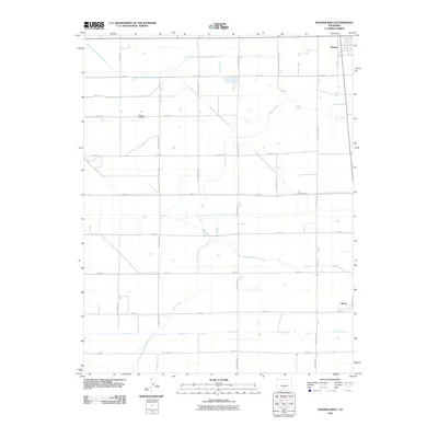
2010 Map of Hooper West
USGS Topo · Published 2010About this map
The agricultural landscape of the San Luis Valley is defined here by an intricate grid of water management systems and rural roads. Speiser Cemetery sits centrally within this geometric expanse, a quiet landmark amidst the vast network of irrigation infrastructure that sustains the region's farms. The settlements of Hooper and Mosca anchor the northeastern and southeastern corners, respectively, serving as the primary hubs for this high-altitude valley community.
Find a feature on this map
33 named features on this map. Tap any name to fly to it.
Don’t see what you’re looking for? This feature index may not catch every label — zoom into the map to look around manually.
Map Details
Editions of this 2010 Hooper West Map
This is the sole edition of this map. No revisions or reprints were ever made.
Other maps of this area

1915 · Del Norte
USGS Topo · 1:125,000

1917 · Del Norte
USGS Topo · 1:125,000

1945 · Durango
USGS Topo · 1:250,000

1953 · Durango
USGS Topo · 1:250,000

1954 · Durango
USGS Topo · 1:250,000

1954 · Trinidad
USGS Topo · 1:250,000

1955 · Trinidad
USGS Topo · 1:250,000

1958 · Trinidad
USGS Topo · 1:250,000

1959 · Trinidad
USGS Topo · 1:250,000

1961 · Durango
USGS Topo · 1:250,000