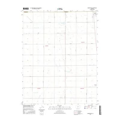
2016 Map of Hooper West
USGS Topo · Published 2016About this map
Speiser Cem sits near the northern edge of this agricultural landscape in the San Luis Valley, marking the history of local settlement in the high desert of Alamosa and Saguache counties. The grid-like organization of the land is defined by an extensive network of water management features, including the San Luis Valley Irrigation Drain and the Hiline Lateral. These engineered waterways are central to the region's ranching and farming identity, supporting the communities at Hooper and Mosca.
Find a feature on this map
24 named features on this map. Tap any name to fly to it.
Don’t see what you’re looking for? This feature index may not catch every label — zoom into the map to look around manually.
Map Details
Editions of this 2016 Hooper West Map
This is the sole edition of this map. No revisions or reprints were ever made.
Other maps of this area

1915 · Del Norte
USGS Topo · 1:125,000

1917 · Del Norte
USGS Topo · 1:125,000

1945 · Durango
USGS Topo · 1:250,000

1953 · Durango
USGS Topo · 1:250,000

1954 · Durango
USGS Topo · 1:250,000

1954 · Trinidad
USGS Topo · 1:250,000

1955 · Trinidad
USGS Topo · 1:250,000

1958 · Trinidad
USGS Topo · 1:250,000

1959 · Trinidad
USGS Topo · 1:250,000

1961 · Durango
USGS Topo · 1:250,000