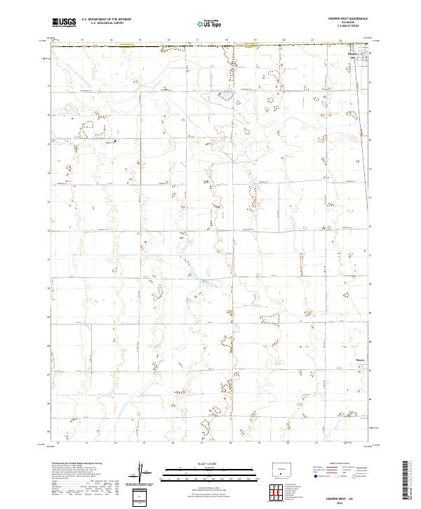
2022 Map of Hooper West
USGS Topo · Published 2022About this map
Hooper sits at the northeastern edge of this high-desert agricultural landscape, where the grid of the San Luis Valley is defined by its vital water infrastructure. This 2022 survey details the complex network of canals and drains essential for high-altitude farming, including the San Luis Valley Irrigation Drain and the Streator Lateral. These engineered waterways, alongside the Hiline Lateral and Prairie Ditch, reveal the persistent effort to manage water across the arid plains. For local historians and genealogists, the map preserves the location of the Speiser Cem, a quiet landmark set against the township lines of t41n r9e and t40n r10e. The vast network of section roads, such as Elevenmile Ln and Ninemile Ln, underscores the deliberate organization of this rural Colorado territory.
Find a feature on this map
39 named features on this map. Tap any name to fly to it.
Don’t see what you’re looking for? This feature index may not catch every label — zoom into the map to look around manually.
Map Details
Editions of this 2022 Hooper West Map
This is the sole edition of this map. No revisions or reprints were ever made.
Other maps of this area

1915 · Del Norte
USGS Topo · 1:125,000

1917 · Del Norte
USGS Topo · 1:125,000

1945 · Durango
USGS Topo · 1:250,000

1953 · Durango
USGS Topo · 1:250,000

1954 · Durango
USGS Topo · 1:250,000

1954 · Trinidad
USGS Topo · 1:250,000

1955 · Trinidad
USGS Topo · 1:250,000

1958 · Trinidad
USGS Topo · 1:250,000

1959 · Trinidad
USGS Topo · 1:250,000

1961 · Durango
USGS Topo · 1:250,000