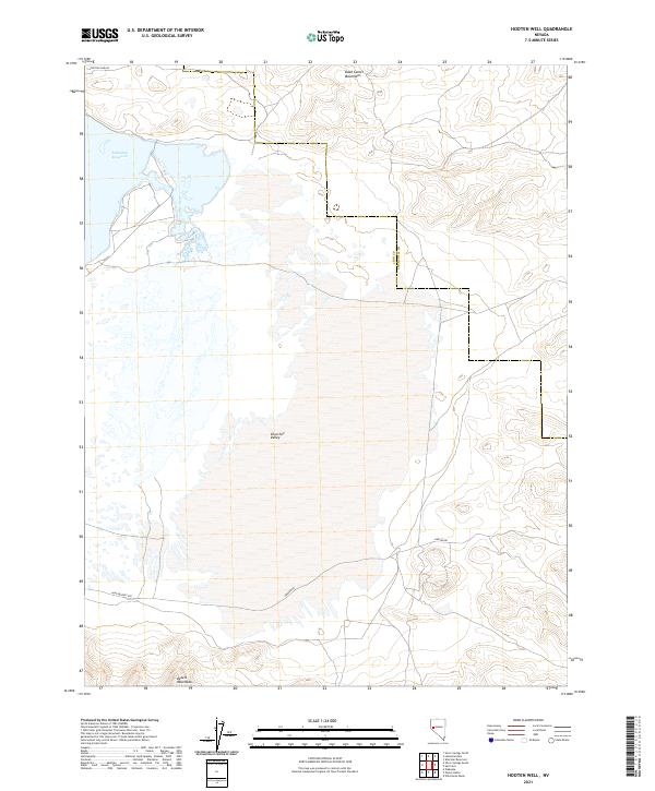
2021 Map of Hooten Well
USGS Topo · Published 2021About this map
Churchill Valley sits at the heart of this Nevada landscape, defined by its complex drainage and boundary lines during the early 21st century. The map highlights the historic Pony Express Rte crossing the southern portion of the quadrangle, providing a tangible connection to nineteenth-century transcontinental mail routes. In the northwest corner, the waters of the Lahontan Reservoir are accessible via Lahontan Dam Rd, marking the edge of a significant irrigation and water management system for the region.
Find a feature on this map
16 named features on this map. Tap any name to fly to it.
Don’t see what you’re looking for? This feature index may not catch every label — zoom into the map to look around manually.
Map Details
Editions of this 2021 Hooten Well Map
This is the sole edition of this map. No revisions or reprints were ever made.
Other maps of this area

1891 · Wabuska
USGS Topo · 1:125,000

1894 · Wabuska
USGS Topo · 1:125,000

1908 · Carson Sink
USGS Topo · 1:250,000

1910 · Carson Sink
USGS Topo · 1:250,000

1951 · Weber Reservoir
USGS Topo · 1:62,500

1951 · Fallon
USGS Topo · 1:62,500

1957 · Wabuska
USGS Topo · 1:62,500

1957 · Silver Springs
USGS Topo · 1:62,500

1957 · Reno
USGS Topo · 1:250,000

1959 · Reno
USGS Topo · 1:250,000