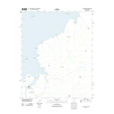
2012 Map of Hoover Dam
USGS Topo · Published 2012About this map
Hoover Dam stands as the central engineering landmark of this landscape, situated at the border of Nevada and Arizona within the Lake Mead Natl Recreation Area. The geography is defined by the high-water margins of Lake Mead and the winding course of the Colorado River downstream. Significant shoreline features and navigational points include Promontory Point, Cape Horn, and several sheltered inlets such as Shelter Cove and Castle Cove. Inland, the terrain is characterized by dramatic elevations like Sugarloaf Mountain and the prominent Fortification Hill. The map traces the rugged drainage patterns of Kingman Wash and the remote corridors of Horse Thief Canyon and Teakettle Pass. Localized geological interests are noted at the Paint Pots and the Nevada Hot Spring near the southern edge of the survey.
Find a feature on this map
29 named features on this map. Tap any name to fly to it.
Don’t see what you’re looking for? This feature index may not catch every label — zoom into the map to look around manually.
Map Details
Editions of this 2012 Hoover Dam Map
This is the sole edition of this map. No revisions or reprints were ever made.
Other maps of this area

1886 · Camp Mohave
USGS Topo · 1:250,000

1886 · Saint Thomas
USGS Topo · 1:250,000

1892 · Camp Mohave
USGS Topo · 1:250,000

1893 · Saint Thomas
USGS Topo · 1:250,000

1926 · Nelson
USGS Topo · 1:96,000

1926 · Boulder Canyon
USGS Topo · 1:96,000

1942 · Camp Mohave
USGS Topo · 1:250,000

1947 · Kingman
USGS Topo · 1:250,000

1948 · Kingman
USGS Topo · 1:250,000

1952 · Henderson
USGS Topo · 1:62,500