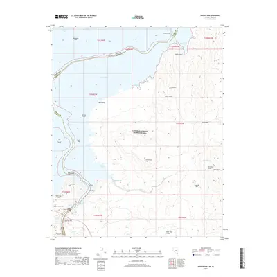
2018 Map of Hoover Dam
USGS Topo · Published 2018About this map
Hoover Dam stands as the central landmark of this modern survey, marking the border between Nevada and Arizona at the head of Black Canyon. The surrounding Lake Mead National Recreation Area contains a complex shoreline featuring Promontory Point, Sentinel Island, and numerous coves like Painters Cove and Fishfinder Cove. The geography is defined by the high desert terrain of the Mojave Desert, where the elevation rises steeply from the water to heights such as Fortification Hill and Sugarloaf Mtn.
Find a feature on this map
51 named features on this map. Tap any name to fly to it.
Don’t see what you’re looking for? This feature index may not catch every label — zoom into the map to look around manually.
Map Details
Editions of this 2018 Hoover Dam Map
This is the sole edition of this map. No revisions or reprints were ever made.
Other maps of this area

1886 · Camp Mohave
USGS Topo · 1:250,000

1886 · Saint Thomas
USGS Topo · 1:250,000

1892 · Camp Mohave
USGS Topo · 1:250,000

1893 · Saint Thomas
USGS Topo · 1:250,000

1926 · Nelson
USGS Topo · 1:96,000

1926 · Boulder Canyon
USGS Topo · 1:96,000

1942 · Camp Mohave
USGS Topo · 1:250,000

1947 · Kingman
USGS Topo · 1:250,000

1948 · Kingman
USGS Topo · 1:250,000

1952 · Henderson
USGS Topo · 1:62,500