2023 Map of Hop Bottom
USGS Topo · Published 2023About this map
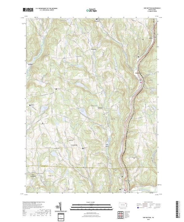
Hop Bottom and Nicholson anchor this northeastern Pennsylvania landscape, where the drainage of Martins Creek and Hop Bottom Creek carves through a series of prominent summits like Round Hill and Squire Hill. The mapping of the Susquehanna Co and Wyoming Co border reveals a deeply rooted settlement pattern, preserved in the numerous family and community burial grounds such as Lathrop Squier Cem and the Strickland Hill Cem. The industrial and transit history of the region is evident in the path of the Lackawanna RR and the Lackawanna Trl, which follow the natural valleys once traversed by the Abington and Waterford Tpke. This network of roads and rails supported a landscape of scattered rural communities including Lindaville, Deckertown, and Hillsdale, many of which developed around local water sources like Lord Pond and Mud Pond.
Find a feature on this map
81 named features on this map. Tap any name to fly to it.
Don’t see what you’re looking for? This feature index may not catch every label — zoom into the map to look around manually.
Map Details
Editions of this 2023 Hop Bottom Map
This is the sole edition of this map. No revisions or reprints were ever made.
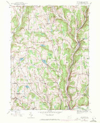
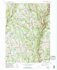
Historical Maps of Deckertown Through Time
3 maps found
Featured Locations
- Brooklyn Township, PA
- Springville Township, PA
- Lenox Township, PA
- Dimock Township, PA
- Harford Township, PA