Loading...
Loading map...2022 Map of Hopkins
USGS Topo · Published 2022About this map
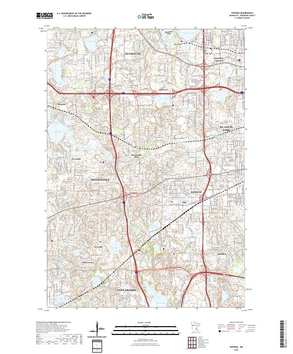
Minnetonka and its surrounding western suburbs are defined by a complex mosaic of glacial lakes and modern transit corridors in this 2022 survey. The landscape is anchored by significant water bodies such as Medicine Lake, Glen Lake, and Shady Oak Lake, with the winding path of Minnehaha Creek cutting through the center of the quadrangle. Historic settlement nodes like Minnetonka Mills and Groveland sit alongside developed areas like Plymouth, Hopkins, and Edina.
Find a feature on this map
65 named features on this map. Tap any name to fly to it.
Don’t see what you’re looking for? This feature index may not catch every label — zoom into the map to look around manually.
Map Details
Date Portrayed2022
Date Published2022
PublisherU.S. Geological Survey
Map TypeTopographic
Scale1:24000
Physical Dimensions24 x 29 inches
Editions of this 2022 Hopkins Map
This is the sole edition of this map. No revisions or reprints were ever made.
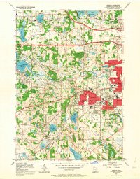
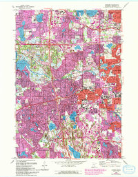
Historical Maps of Plymouth Through Time
3 maps found
Featured Locations
Source Details
SourceU.S. Geological Survey
CopyrightPublic Domain