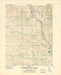
1938 Map of Hopland
USGS Topo · Published 1938About this map
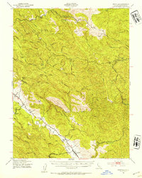
The Russian River corridor serves as the central artery for this 1920s-era survey, which traces the rugged transition from Hopland south toward Cloverdale. The landscape is defined by the critical transit network of the Northwestern Pacific railroad and State Highway No 1, which snake through the valley alongside small rail-dependent stops like Pieta and Cummiskey. The terrain rises sharply away from the water to Snow Mountain and Duncans Peak, while the flats contain early irrigation patterns around McDowell Valley Creek.
Find a feature on this map
28 named features on this map. Tap any name to fly to it.
Don’t see what you’re looking for? This feature index may not catch every label — zoom into the map to look around manually.
Map Details
Editions of this 1938 Hopland Map
This is the sole edition of this map. No revisions or reprints were ever made.
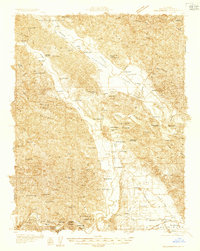
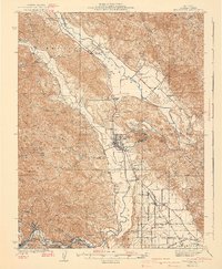
Other maps of this area
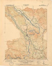
1920 · Healdsburg
USGS Topo · 1:62,500

1920 · Ukiah
USGS Topo · 1:62,500

1921 · Skaggs
USGS Topo · 1:62,500

1921 · Kelseyville
USGS Topo · 1:62,500

1921 · Plantation
USGS Topo · 1:62,500
1933 · Healdsburg
USGS Topo · 1:48,000

1938 · Lakeport
USGS Topo · 1:62,500
1940 · Healdsburg
USGS Topo · 1:62,500

1943 · Tombs Creek
USGS Topo · 1:24,000
1943 · Boonville
USGS Topo · 1:62,500