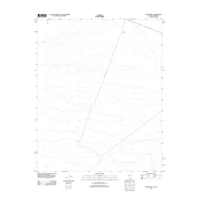
2012 Map of Hopps Well
USGS Topo · Published 2012About this map
Hopps Well serves as a critical water source in this arid corner of San Bernardino County, where the desert landscape is defined by its sparse but essential hydrologic features. The map illustrates a remote terrain where human activity is centered on ranching and seasonal water access, evidenced by the presence of YKL Ranch in the northern portion of the quadrangle. Transportation through this open country is primarily facilitated by Walking Box Ranch Rd, which cuts across the landscape to connect isolated outposts. Natural water points like Burro Springs and the simply named The Spring provide rare focal points for local wildlife and those navigating the high desert environment, reflecting the historical importance of reliable water in the development of the California-Nevada borderlands.
Find a feature on this map
5 named features on this map. Tap any name to fly to it.
Don’t see what you’re looking for? This feature index may not catch every label — zoom into the map to look around manually.
Map Details
Editions of this 2012 Hopps Well Map
This is the sole edition of this map. No revisions or reprints were ever made.
Other maps of this area

1886 · Camp Mohave
USGS Topo · 1:250,000

1892 · Camp Mohave
USGS Topo · 1:250,000

1910 · Ivanpah
USGS Topo · 1:250,000

1912 · Ivanpah
USGS Topo · 1:250,000

1926 · Nelson
USGS Topo · 1:96,000

1926 · Mohave City
USGS Topo · 1:96,000

1942 · Camp Mohave
USGS Topo · 1:250,000

1942 · Ivanpah
USGS Topo · 1:250,000

1947 · Kingman
USGS Topo · 1:250,000

1948 · Kingman
USGS Topo · 1:250,000