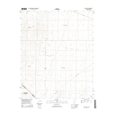
2014 Map of Hopps Well
USGS Topo · Published 2014About this map
Hopps Well sits at the northern edge of this high desert landscape, positioned where the Mojave Desert meets the Piute Valley along the California-Nevada border. This arid region is defined by scarce water sources and historical transit routes that connected remote outposts. The southwestern portion of the sheet is protected within the Mojave National Preserve, reflecting the importance of this ecosystem. Sparse but critical water points like Burro Spring and The Spring underscore the challenges of settlement in this environment. The presence of the Barnwell & Searchlight road suggests the historical movement of goods and people between mining districts or ranching centers, bridging the gap between the San Bernardino County highlands and the Nevada line.
Find a feature on this map
14 named features on this map. Tap any name to fly to it.
Don’t see what you’re looking for? This feature index may not catch every label — zoom into the map to look around manually.
Map Details
Editions of this 2014 Hopps Well Map
This is the sole edition of this map. No revisions or reprints were ever made.
Other maps of this area

1886 · Camp Mohave
USGS Topo · 1:250,000

1892 · Camp Mohave
USGS Topo · 1:250,000

1910 · Ivanpah
USGS Topo · 1:250,000

1912 · Ivanpah
USGS Topo · 1:250,000

1926 · Nelson
USGS Topo · 1:96,000

1926 · Mohave City
USGS Topo · 1:96,000

1942 · Camp Mohave
USGS Topo · 1:250,000

1942 · Ivanpah
USGS Topo · 1:250,000

1947 · Kingman
USGS Topo · 1:250,000

1948 · Kingman
USGS Topo · 1:250,000