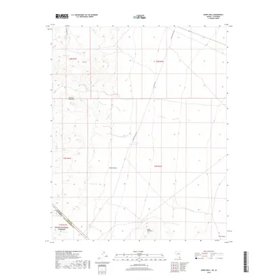
2018 Map of Hopps Well
USGS Topo · Published 2018About this map
The Mojave National Preserve anchors the southwest corner of this arid landscape, straddling the high-desert borderlands of San Bernardino County and Clark County. This 2018 survey documents a remote corridor where the New York Mountains give way to the expansive Mojave Desert floor and the wide Piute Valley to the east. Water remains the defining scarcity of the region, marked by isolated sites such as Hopps Well, Burro Springs, and simply The Spring. A sparse network of ranching and access roads, including Walking Box Ranch Rd and Seven Mile Rd, provides the only modern infrastructure through the vast basins between the New York and Castle Mountains.
Find a feature on this map
18 named features on this map. Tap any name to fly to it.
Don’t see what you’re looking for? This feature index may not catch every label — zoom into the map to look around manually.
Map Details
Editions of this 2018 Hopps Well Map
This is the sole edition of this map. No revisions or reprints were ever made.
Other maps of this area

1886 · Camp Mohave
USGS Topo · 1:250,000

1892 · Camp Mohave
USGS Topo · 1:250,000

1910 · Ivanpah
USGS Topo · 1:250,000

1912 · Ivanpah
USGS Topo · 1:250,000

1926 · Nelson
USGS Topo · 1:96,000

1926 · Mohave City
USGS Topo · 1:96,000

1942 · Camp Mohave
USGS Topo · 1:250,000

1942 · Ivanpah
USGS Topo · 1:250,000

1947 · Kingman
USGS Topo · 1:250,000

1948 · Kingman
USGS Topo · 1:250,000