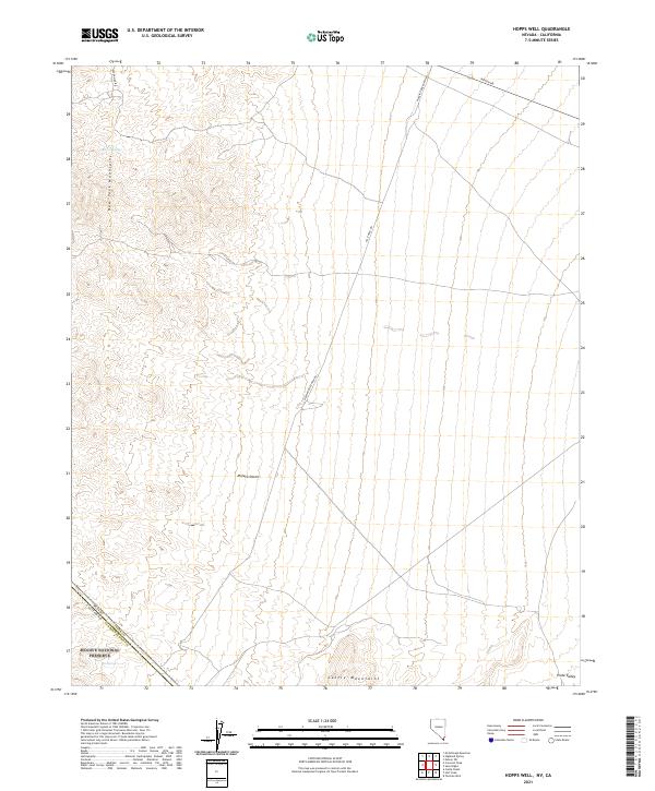
2021 Map of Hopps Well
USGS Topo · Published 2021About this map
Mojave National Preserve anchors the southwest corner of this arid landscape, where the high desert terrain transitions between the New York Mountains and the Castle Mountains. This modern survey documents the rugged borderlands between Clark County, Nevada, and San Bernardino County, California, capturing a network of remote ranching roads and vital water sources like Burro Springs and The Spring. The transport infrastructure is defined by isolated routes such as Walking Box Ranch Rd and Nipton Rd, which trace the expansive flats of the Mojave Desert. To the east, the map opens into the Piute Valley, illustrating the immense scale of the basin-and-range topography. Researchers will find the township and range lines provide a clear grid for locating historical land claims and water rights in a region where geography is defined by scarce resources and significant elevation changes.
Find a feature on this map
13 named features on this map. Tap any name to fly to it.
Don’t see what you’re looking for? This feature index may not catch every label — zoom into the map to look around manually.
Map Details
Editions of this 2021 Hopps Well Map
This is the sole edition of this map. No revisions or reprints were ever made.
Other maps of this area

1886 · Camp Mohave
USGS Topo · 1:250,000

1892 · Camp Mohave
USGS Topo · 1:250,000

1910 · Ivanpah
USGS Topo · 1:250,000

1912 · Ivanpah
USGS Topo · 1:250,000

1926 · Nelson
USGS Topo · 1:96,000

1926 · Mohave City
USGS Topo · 1:96,000

1942 · Camp Mohave
USGS Topo · 1:250,000

1942 · Ivanpah
USGS Topo · 1:250,000

1947 · Kingman
USGS Topo · 1:250,000

1948 · Kingman
USGS Topo · 1:250,000