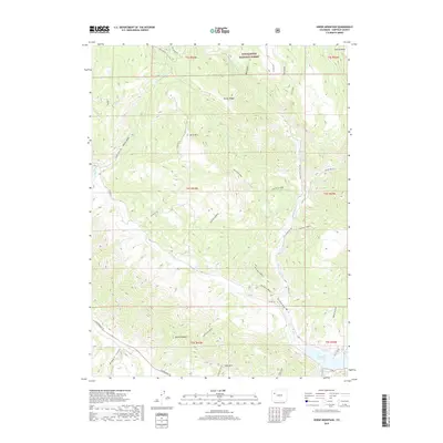
2019 Map of Horse Mountain
USGS Topo · Published 2019About this map
White River National Forest lands dominate the northern reaches of this Colorado survey, characterized by the prominent elevation of Horse Mtn and the distinct spine of the Grand Hogback cutting across the southwestern corner. The landscape is defined by its drainage systems, where Middle Rifle Cr and W Rifle Cr carve through deep gulches like Harris Gulch and Salt Gulch. A network of Bureau of Land Management routes, including BLM Route 8086 and BLM Route 8084C, provides access to these high ridges. In the southern portion of the map, the terrain descends toward the Rifle Gap Reservoir, while the Rifle Arch Trail leads to the geological landmark of Rifle Arch. This area shows a clear divide between the high mesa country of Coulter Mesa and the lower basin valleys.
Find a feature on this map
43 named features on this map. Tap any name to fly to it.
Don’t see what you’re looking for? This feature index may not catch every label — zoom into the map to look around manually.
Map Details
Editions of this 2019 Horse Mountain Map
This is the sole edition of this map. No revisions or reprints were ever made.
Other maps of this area

1906 · Grand Hogback
USGS Topo · 1:125,000

1910 · Grand Hogback
USGS Topo · 1:125,000

1952 · Rio Blanco
USGS Topo · 1:24,000

1952 · Anvil Points
USGS Topo · 1:24,000

1952 · Horse Mountain
USGS Topo · 1:24,000

1952 · Rifle
USGS Topo · 1:24,000

1957 · Leadville
USGS Topo · 1:250,000

1959 · Leadville
USGS Topo · 1:250,000

1960 · Leadville
USGS Topo · 1:250,000

1962 · Leadville
USGS Topo · 1:250,000