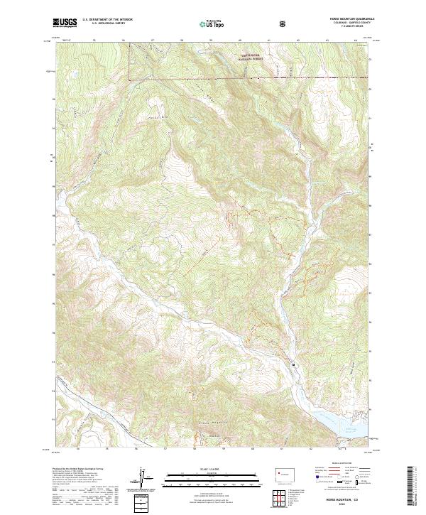
2022 Map of Horse Mountain
USGS Topo · Published 2022About this map
The Grand Hogback serves as a striking geological spine across this section of Garfield County, marking a sharp transition in the landscape near the southern boundary. To the north, the terrain is defined by complex drainage systems and ridges within the White River National Forest, including Horse Mtn and Parker Ridge. This area is characterized by a dense network of watercourses such as Middle Rifle Cr and W Rifle Cr, which carve through the high country. Near the southern edge, the impressive Rifle Arch stands as a notable landmark just north of Rifle Gap Reservoir.
Find a feature on this map
53 named features on this map. Tap any name to fly to it.
Don’t see what you’re looking for? This feature index may not catch every label — zoom into the map to look around manually.
Map Details
Editions of this 2022 Horse Mountain Map
This is the sole edition of this map. No revisions or reprints were ever made.
Other maps of this area

1906 · Grand Hogback
USGS Topo · 1:125,000

1910 · Grand Hogback
USGS Topo · 1:125,000

1952 · Rio Blanco
USGS Topo · 1:24,000

1952 · Anvil Points
USGS Topo · 1:24,000

1952 · Horse Mountain
USGS Topo · 1:24,000

1952 · Rifle
USGS Topo · 1:24,000

1957 · Leadville
USGS Topo · 1:250,000

1959 · Leadville
USGS Topo · 1:250,000

1960 · Leadville
USGS Topo · 1:250,000

1962 · Leadville
USGS Topo · 1:250,000