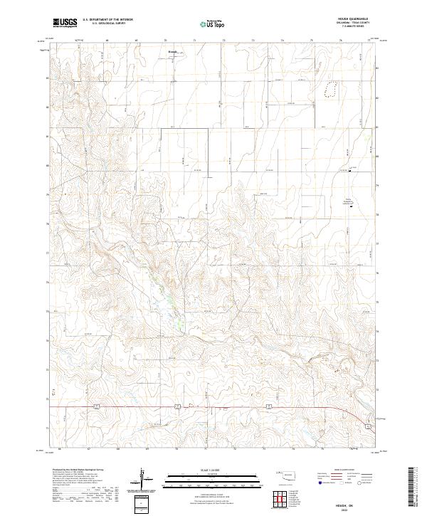
2022 Map of Hough
USGS Topo · Published 2022About this map
The settlement of Hough anchors the northern reaches of this high-plains landscape in Texas County. The terrain is defined by the winding drainages of Goff Creek and its tributary, Little Goff Cr, which cut through the agricultural sections and range land. These waterways provide a stark contrast to the rigid grid of section roads like Road N and RD K that organize the surrounding territory. Local family and community history is preserved at the Lee Cem and the Trinity Evangelical Lutheran Cem, located in the eastern portion of the map. The spatial relationship between these small burial grounds and the nearby farm roads reflects the enduring legacy of early 20th-century homesteading in the Oklahoma Panhandle, where the scattered population centers relied on localized churches and cemeteries as vital social and memorial anchors.
Find a feature on this map
45 named features on this map. Tap any name to fly to it.
Don’t see what you’re looking for? This feature index may not catch every label — zoom into the map to look around manually.
Map Details
Editions of this 2022 Hough Map
This is the sole edition of this map. No revisions or reprints were ever made.
Other maps of this area

1954 · Perryton
USGS Topo · 1:250,000

1958 · Perryton
USGS Topo · 1:250,000

1967 · Straight
USGS Topo · 1:24,000

1967 · Straight SW
USGS Topo · 1:24,000

1968 · Guymon
USGS Topo · 1:24,000

1973 · Goodwell NW
USGS Topo · 1:24,000

1973 · Hough SW
USGS Topo · 1:24,000

1973 · Hough NE
USGS Topo · 1:24,000

1973 · Goodwell NE
USGS Topo · 1:24,000

1973 · Hough NW
USGS Topo · 1:24,000