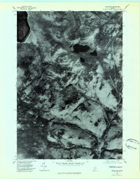
1978 Map of Houghton
USGS Topo · Published 1983About this map
Houghton and Bemis anchor this 1970s orthophotoquad, which replaces traditional topographic contour lines with a direct aerial view of the Maine woods. The landscape is defined by the winding course of the Swift River and its West Branch, which carve through the dense timberland and steep rises of Ten Degree. Because this is an orthophotograph, researchers can see the actual texture of the forest cover and the precise layout of local clearings and roads as they existed when the imagery was captured in late October 1978. The relationship between the settlement at Houghton and the surrounding water bodies, including Bemis Lake, is shown with photographic clarity, providing a raw look at the industrial and natural geography of Franklin County before modern forest management changed the canopy patterns.
Find a feature on this map
6 named features on this map. Tap any name to fly to it.
Don’t see what you’re looking for? This feature index may not catch every label — zoom into the map to look around manually.
Map Details
Editions of this 1978 Houghton Map
This is the sole edition of this map. No revisions or reprints were ever made.
Other maps of this area

1927 · Rumford
USGS Topo · 1:48,000

1930 · Rumford
USGS Topo · 1:62,500

1933 · Rangeley
USGS Topo · 1:48,000

1939 · Rangeley
USGS Topo · 1:62,500

1940 · Oquossoc
USGS Topo · 1:62,500

1942 · Oquossoc
USGS Topo · 1:62,500

1943 · Old Speck Mtn
USGS Topo · 1:62,500

1945 · Old Speck Mtn
USGS Topo · 1:62,500

1949 · Rangeley
USGS Topo · 1:62,500

1950 · Lewiston
USGS Topo · 1:250,000