
1949 Map of Rangeley
USGS Topo · Published 1955About this map
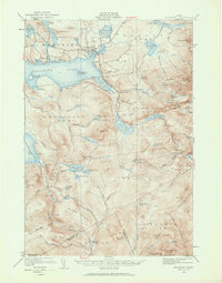
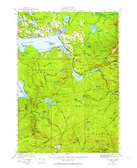
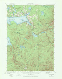
Rangeley serves as the primary hub for this mid-century look at the western Maine highlands, where the shoreline of Rangeley Lake is dotted with landmarks like Mingo Springs and Bonney Point. The landscape is defined by its recreation and forestry potential, featuring an Airport and a prominent Fire Tower atop Saddleback Mtn. The Appalachian Trail winds through the southern terrain, crossing over Bemis Mtn and Old Blue Mtn as it moves through the unorganized territories. Smaller settlements like Dallas and Houghton anchor the map's eastern and southern reaches, while the intricate drainage of the Sandy River and South Branch Dead River illustrates the region's complex water network. This survey, revised in the late 1940s, highlights the transition from early resource extraction toward a seasonal mountain and lake economy.
Find a feature on this map
115 named features on this map. Tap any name to fly to it.
Don’t see what you’re looking for? This feature index may not catch every label — zoom into the map to look around manually.
Map Details
Editions of this 1949 Rangeley Map
4 editions found
Other maps of this area

1926 · Dixfield
USGS Topo · 1:62,500

1927 · Rumford
USGS Topo · 1:48,000

1928 · Stratton
USGS Topo · 1:48,000

1929 · Phillips
USGS Topo · 1:48,000

1929 · Dixfield
USGS Topo · 1:62,500

1930 · Rumford
USGS Topo · 1:62,500

1931 · Cupsuptic
USGS Topo · 1:48,000

1932 · Phillips
USGS Topo · 1:62,500

1932 · Stratton
USGS Topo · 1:62,500

1932 · Kennebago Lake
USGS Topo · 1:48,000
Featured Places
- Rangeley, ME
- Dallas Plantation, ME
- Rangeley Plantation, ME
- Madrid Township, ME
- Sandy River Plantation, ME