
1931 Map of Cupsuptic
USGS Topo · Published 1931About this map
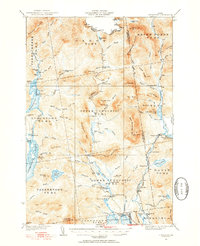
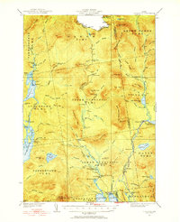
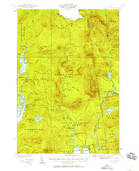
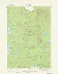
Cupsuptic River and the Kennebago River define this high-country landscape in the western Maine wilderness, surveyed by Frank Larner and W.B. Brewer in the early 1930s. The map illustrates a region structured by sporting culture and logging operations, where remote outposts like the Parmachenee Club and Cupsuptic Sporting Camp provided basepoints for backcountry navigation. The dense network of rivers and ponds, including the expansive Aziscoos Lake and Parmachenee Lake, suggests a landscape primary navigated by water and trail, with portages connecting different watersheds. Notable landmarks such as the Fire Tower on Sable Ridge and specialized sites like the Cupsuptic Nursery reveal the active management of the forest, while humorously named spots like Moochers Home provide a rare glimpse into the local vernacular of the era's camp life.
Find a feature on this map
77 named features on this map. Tap any name to fly to it.
Don’t see what you’re looking for? This feature index may not catch every label — zoom into the map to look around manually.
Map Details
Editions of this 1931 Cupsuptic Map
5 editions found
Other maps of this area

1927 · Moose Bog
USGS Topo · 1:48,000

1927 · Second Lake
USGS Topo · 1:62,500

1928 · Chain Lakes
USGS Topo · 1:48,000

1930 · Errol
USGS Topo · 1:62,500

1931 · Moose Bog
USGS Topo · 1:62,500

1932 · Kennebago Lake
USGS Topo · 1:48,000

1932 · Second Lake
USGS Topo · 1:62,500

1932 · Arnold Pond
USGS Topo · 1:48,000

1932 · Chain Lakes
USGS Topo · 1:62,500

1933 · Rangeley
USGS Topo · 1:48,000