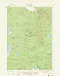
1931 Map of Cupsuptic
USGS Topo · Published 1966About this map
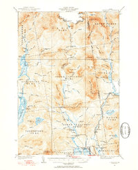
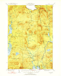
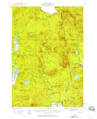
Aziscohos Lake and the winding Cupsuptic River dominate this landscape of the Maine North Woods, surveyed in the early 1930s. The region is characterized by a dense network of sporting camps, warden outposts, and seasonal retreats, reflecting its history as a premier destination for wilderness recreation. Notable landmarks such as the Parmachenee Club on Parmachenee Lake and the curiously named Moochers Home near the Cupsuptic Sporting Camp highlight the localized human presence within the townships of Lynchtown, Upper Cupsuptic, and Lower Cupsuptic.
Find a feature on this map
109 named features on this map. Tap any name to fly to it.
Don’t see what you’re looking for? This feature index may not catch every label — zoom into the map to look around manually.
Map Details
Editions of this 1931 Cupsuptic Map
5 editions found
Other maps of this area

1927 · Moose Bog
USGS Topo · 1:48,000

1927 · Second Lake
USGS Topo · 1:62,500

1928 · Chain Lakes
USGS Topo · 1:48,000

1930 · Errol
USGS Topo · 1:62,500

1931 · Cupsuptic
USGS Topo · 1:48,000

1931 · Moose Bog
USGS Topo · 1:62,500

1932 · Kennebago Lake
USGS Topo · 1:48,000

1932 · Second Lake
USGS Topo · 1:62,500

1932 · Arnold Pond
USGS Topo · 1:48,000

1932 · Chain Lakes
USGS Topo · 1:62,500