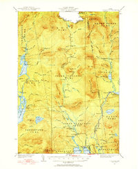
1931 Map of Cupsuptic
USGS Topo · Published 1954About this map
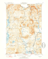
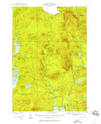
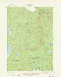
Upper Cupsuptic and the surrounding unorganized townships of western Maine are depicted here during a period of active logging and sporting activity. The landscape is defined by the Cupsuptic River and its numerous tributaries, which served as a primary network for the regional timber economy. Distinctive encampments like Riverside Camp, East Branch Camp, and the specialized Cupsuptic Sporting Camp highlight the area's dual identity as a remote industrial timberland and a destination for wilderness recreation. The presence of the Central Maine railroad line along the eastern edge of the quadrangle suggests the critical role of rail in connecting these isolated woods to broader markets. Remote outposts such as Moochers Home and the Game Wardens Camp further illustrate the human infrastructure required to manage these extensive north woods before the advent of modern road systems.
Find a feature on this map
104 named features on this map. Tap any name to fly to it.
Don’t see what you’re looking for? This feature index may not catch every label — zoom into the map to look around manually.
Map Details
Editions of this 1931 Cupsuptic Map
5 editions found
Other maps of this area

1927 · Moose Bog
USGS Topo · 1:48,000

1927 · Second Lake
USGS Topo · 1:62,500

1928 · Chain Lakes
USGS Topo · 1:48,000

1930 · Errol
USGS Topo · 1:62,500

1931 · Cupsuptic
USGS Topo · 1:48,000

1931 · Moose Bog
USGS Topo · 1:62,500

1932 · Kennebago Lake
USGS Topo · 1:48,000

1932 · Second Lake
USGS Topo · 1:62,500

1932 · Arnold Pond
USGS Topo · 1:48,000

1932 · Chain Lakes
USGS Topo · 1:62,500