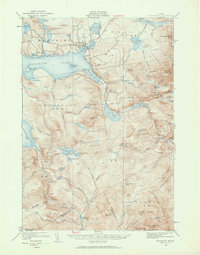
1949 Map of Rangeley
USGS Topo · Published 1961About this map
Rangeley Lake serves as the central focal point for this mountain landscape at a time when the region was firmly established as a premier destination for backcountry recreation and timber. The village of Rangeley is situated along the northern shore near Haley Pond, while smaller settlements like Dallas and Mingo Springs dot the surrounding high country. The era's transportation and safety infrastructure is clearly marked, from the Airport north of the lake to the Fire Tower atop Saddleback Mtn.
Find a feature on this map
106 named features on this map. Tap any name to fly to it.
Don’t see what you’re looking for? This feature index may not catch every label — zoom into the map to look around manually.
Map Details
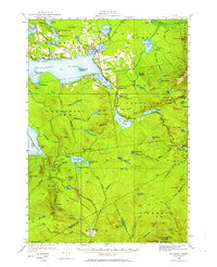
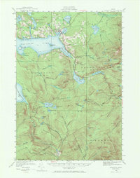
Editions of this 1949 Rangeley Map
4 editions found

Other maps of this area

1926 · Dixfield
USGS Topo · 1:62,500

1927 · Rumford
USGS Topo · 1:48,000

1928 · Stratton
USGS Topo · 1:48,000

1929 · Phillips
USGS Topo · 1:48,000

1929 · Dixfield
USGS Topo · 1:62,500

1930 · Rumford
USGS Topo · 1:62,500

1931 · Cupsuptic
USGS Topo · 1:48,000

1932 · Phillips
USGS Topo · 1:62,500

1932 · Stratton
USGS Topo · 1:62,500

1932 · Kennebago Lake
USGS Topo · 1:48,000
Featured Places
- Rangeley, ME
- Dallas Plantation, ME
- Rangeley Plantation, ME
- Madrid Township, ME
- Sandy River Plantation, ME