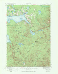
1949 Map of Rangeley
USGS Topo · Published 1968About this map
Rangeley serves as the focal point for this 1949 revision, situated along the northeastern shore of Rangeley Lake. The settlement is defined by its lakeside orientation, with City Cove and nearby Haines Point marking the transition into the dense woods and high peaks of Franklin County. The landscape is notably dotted with remote schools and seasonal landmarks, such as Greenvale Sch and the resort character of Mingo Springs.
Find a feature on this map
90 named features on this map. Tap any name to fly to it.
Don’t see what you’re looking for? This feature index may not catch every label — zoom into the map to look around manually.
Map Details
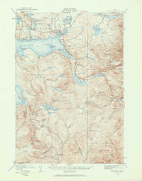
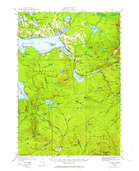
Editions of this 1949 Rangeley Map
4 editions found

Other maps of this area

1926 · Dixfield
USGS Topo · 1:62,500

1927 · Rumford
USGS Topo · 1:48,000

1928 · Stratton
USGS Topo · 1:48,000

1929 · Phillips
USGS Topo · 1:48,000

1929 · Dixfield
USGS Topo · 1:62,500

1930 · Rumford
USGS Topo · 1:62,500

1931 · Cupsuptic
USGS Topo · 1:48,000

1932 · Phillips
USGS Topo · 1:62,500

1932 · Stratton
USGS Topo · 1:62,500

1932 · Kennebago Lake
USGS Topo · 1:48,000
Featured Places
- Rangeley, ME
- Dallas Plantation, ME
- Rangeley Plantation, ME
- Madrid Township, ME
- Sandy River Plantation, ME