
1929 Map of Dixfield
USGS Topo · Published 1929About this map
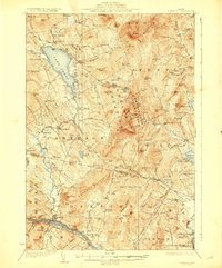
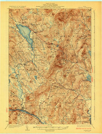
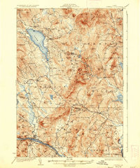
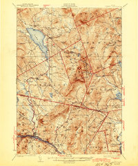
Lake Webb dominates the northern landscape of this late 1920s survey, surrounded by the small settlements of Weld and Weld Corner. This region of the Oxford and Franklin county border is defined by a dense network of district schools and upland farms, with prominent peaks like Mt. Blue and Hurricane Mt. rising above the valleys. To the south, the industrial and transport corridor follows the Androscoggin River, where the Maine Central railroad services the village of Dixfield.
Find a feature on this map
110 named features on this map. Tap any name to fly to it.
Don’t see what you’re looking for? This feature index may not catch every label — zoom into the map to look around manually.
Map Details
Editions of this 1929 Dixfield Map
5 editions found
Other maps of this area

1910 · Livermore
USGS Topo · 1:62,500

1911 · Bryant Pond
USGS Topo · 1:62,500

1911 · Buckfield
USGS Topo · 1:62,500

1912 · Livermore
USGS Topo · 1:62,500

1913 · Buckfield
USGS Topo · 1:62,500

1914 · Bryant Pond
USGS Topo · 1:62,500

1924 · Farmington
USGS Topo · 1:62,500

1926 · Dixfield
USGS Topo · 1:62,500

1927 · Rumford
USGS Topo · 1:48,000

1929 · Phillips
USGS Topo · 1:48,000