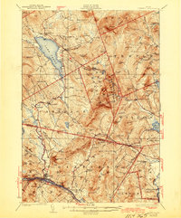
1929 Map of Dixfield
USGS Topo · Published 1944About this map
Lake Webb and the northern reaches of the Androscoggin River anchor this late 1920s survey of central Franklin County. The landscape is characterized by its organized civic structure, featuring numerous small schoolhouses like Maple Grove Sch and Staples Sch tucked between prominent elevations such as Mt Blue and Spruce Mtn. The region's early 20th-century economy is reflected in the water-powered industry at Hildreths Mill and the vital transportation corridor of the Maine Central RR passing through Dixfield and Peru.
Find a feature on this map
130 named features on this map. Tap any name to fly to it.
Don’t see what you’re looking for? This feature index may not catch every label — zoom into the map to look around manually.
Map Details
Editions of this 1929 Dixfield Map
5 editions found

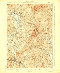
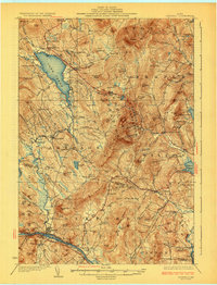
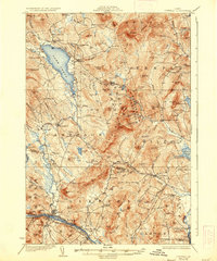
Other maps of this area

1910 · Livermore
USGS Topo · 1:62,500

1911 · Bryant Pond
USGS Topo · 1:62,500

1911 · Buckfield
USGS Topo · 1:62,500

1912 · Livermore
USGS Topo · 1:62,500

1913 · Buckfield
USGS Topo · 1:62,500

1914 · Bryant Pond
USGS Topo · 1:62,500

1924 · Farmington
USGS Topo · 1:62,500

1926 · Dixfield
USGS Topo · 1:62,500

1927 · Rumford
USGS Topo · 1:48,000

1929 · Phillips
USGS Topo · 1:48,000