
1912 Map of Livermore
USGS Topo · Published 1912About this map
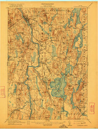
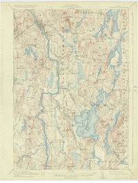
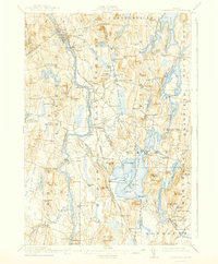
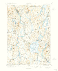
Livermore Falls and the neighboring industrial hub of Chisholm anchor the northern reaches of this survey along the Androscoggin River. In 1912, the local economy was defined by the Maine Central RR and timber processing, evidenced by the Richmond Mill and numerous small settlements like East Livermore Mills. The landscape is a complex network of glacial ponds and ridges, from Parker Pond in the northeast to the sprawling Androscoggin Lake at the center.
Find a feature on this map
142 named features on this map. Tap any name to fly to it.
Don’t see what you’re looking for? This feature index may not catch every label — zoom into the map to look around manually.
Map Details
Editions of this 1912 Livermore Map
5 editions found
Other maps of this area

1892 · Gardiner
USGS Topo · 1:62,500

1892 · Augusta
USGS Topo · 1:62,500

1894 · Norridgewock
USGS Topo · 1:62,500

1898 · Norridgewock
USGS Topo · 1:62,500

1908 · Poland
USGS Topo · 1:62,500

1908 · Lewiston
USGS Topo · 1:62,500

1910 · Livermore
USGS Topo · 1:62,500

1911 · Buckfield
USGS Topo · 1:62,500

1913 · Buckfield
USGS Topo · 1:62,500

1924 · Farmington
USGS Topo · 1:62,500