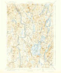
1912 Map of Livermore
USGS Topo · Published 1940About this map
The Androscoggin River carves a deep valley through this Maine landscape, serving as the industrial and transport spine for towns like Livermore Falls and Strickland. The Maine Central Railroad closely follows the river's path, facilitating the movement of timber and goods from centers like East Livermore Mills. To the east, the terrain shifts into a dense network of glacial lakes and ponds, including Pocasset Lake, Crotched Pond, and Parker Pond, where early settlements like Wayne and Fayette took root.
Find a feature on this map
142 named features on this map. Tap any name to fly to it.
Don’t see what you’re looking for? This feature index may not catch every label — zoom into the map to look around manually.
Map Details
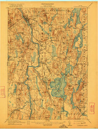
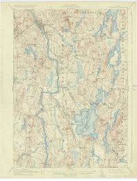
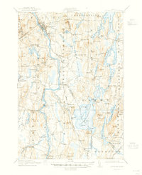
Editions of this 1912 Livermore Map
5 editions found
Other maps of this area

1892 · Gardiner
USGS Topo · 1:62,500

1892 · Augusta
USGS Topo · 1:62,500

1894 · Norridgewock
USGS Topo · 1:62,500

1898 · Norridgewock
USGS Topo · 1:62,500

1908 · Poland
USGS Topo · 1:62,500

1908 · Lewiston
USGS Topo · 1:62,500

1910 · Livermore
USGS Topo · 1:62,500

1911 · Buckfield
USGS Topo · 1:62,500

1912 · Livermore
USGS Topo · 1:62,500

1913 · Buckfield
USGS Topo · 1:62,500