
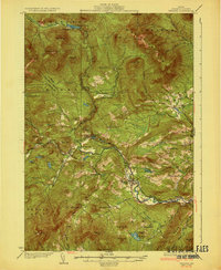
1932 Map of Phillips
USGS Topo · Published 1932About this map
The Sandy River corridor anchors this 1929 survey of Franklin County, showing a landscape defined by its timber-hauling railroads and mountain-gap settlements. The Rangeley Lakes and Berlin Mills RR winds through the valley, connecting key transit points like Madrid Junction and Perham Junction. High-elevation landmarks such as Mt Abraham and Saddleback Junior overlook a network of valley farms and local institutions, including the Blethen Sch and Mile Square Sch. The mapping of small mountain ponds like Redington Pond and Beal Pond alongside early routes like State Highway No 4 reflects an era when traditional logging economies were beginning to intersect with growing regional travel. Genealogists will find particular value in the distribution of family-named schools and peaks that characterized the social and economic geography of Phillips and Madrid during the interwar years.
Find a feature on this map
76 named features on this map. Tap any name to fly to it.
Don’t see what you’re looking for? This feature index may not catch every label — zoom into the map to look around manually.
Map Details
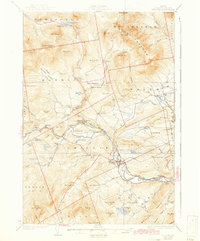
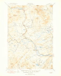
Editions of this 1932 Phillips Map
4 editions found
Other maps of this area

1924 · Farmington
USGS Topo · 1:62,500

1926 · Dixfield
USGS Topo · 1:62,500

1927 · Rumford
USGS Topo · 1:48,000

1928 · Dead River
USGS Topo · 1:62,500

1928 · Stratton
USGS Topo · 1:48,000

1929 · Phillips
USGS Topo · 1:48,000

1929 · Dixfield
USGS Topo · 1:62,500

1930 · Rumford
USGS Topo · 1:62,500

1930 · Kingfield
USGS Topo · 1:48,000

1931 · Dead River
USGS Topo · 1:48,000