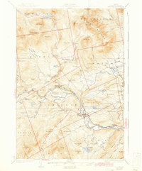
1932 Map of Phillips
USGS Topo · Published 1942About this map
The Sandy River winds through the heart of this Franklin County terrain, serving as the central artery for the valley's development and transport during the early twentieth century. The Sandy River and Rangeley Lakes RR follows the river's path, connecting settlements like Phillips and Madrid. This rail network was vital for the regional timber and agricultural economy, reaching north to Perham Junction and Redington.
Find a feature on this map
90 named features on this map. Tap any name to fly to it.
Don’t see what you’re looking for? This feature index may not catch every label — zoom into the map to look around manually.
Map Details
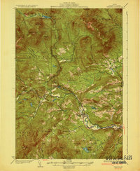
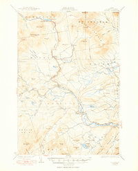
Editions of this 1932 Phillips Map
4 editions found

Other maps of this area

1924 · Farmington
USGS Topo · 1:62,500

1926 · Dixfield
USGS Topo · 1:62,500

1927 · Rumford
USGS Topo · 1:48,000

1928 · Dead River
USGS Topo · 1:62,500

1928 · Stratton
USGS Topo · 1:48,000

1929 · Phillips
USGS Topo · 1:48,000

1929 · Dixfield
USGS Topo · 1:62,500

1930 · Rumford
USGS Topo · 1:62,500

1930 · Kingfield
USGS Topo · 1:48,000

1931 · Dead River
USGS Topo · 1:48,000