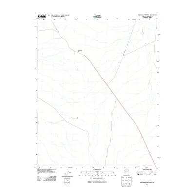
2011 Map of Housholder Pass
USGS Topo · Published 2011About this map
Housholder Pass serves as the primary topographical landmark in this high desert region of Mohave County, where the landscape is defined by vast alluvial drainages and a critical transportation corridor. The map focuses on the transit route through the mountains, anchored by the path of Highway 93, which cuts diagonally across the terrain. Hydrological patterns are dominated by the winding course of Detrital Wash along the eastern edge, a feature that dictates the natural drainage of the arid basin. To the north, the junction with Temple Bar Rd provides a vital link toward the Colorado River recreation areas, illustrating how infrastructure in this era was tightly constrained by the surrounding desert passes.
Find a feature on this map
4 named features on this map. Tap any name to fly to it.
Don’t see what you’re looking for? This feature index may not catch every label — zoom into the map to look around manually.
Map Details
Editions of this 2011 Housholder Pass Map
This is the sole edition of this map. No revisions or reprints were ever made.
Other maps of this area

1886 · Camp Mohave
USGS Topo · 1:250,000

1892 · Camp Mohave
USGS Topo · 1:250,000

1926 · Nelson
USGS Topo · 1:96,000

1942 · Camp Mohave
USGS Topo · 1:250,000

1947 · Kingman
USGS Topo · 1:250,000

1948 · Kingman
USGS Topo · 1:250,000

1954 · Kingman
USGS Topo · 1:250,000

1955 · Kingman
USGS Topo · 1:250,000

1958 · Kingman
USGS Topo · 1:250,000
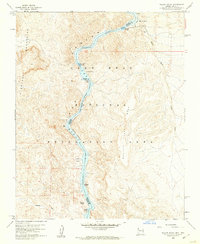
1959 · Willow Beach
USGS Topo · 1:24,000