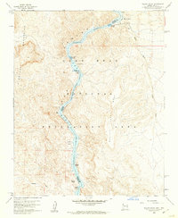
1959 Map of Willow Beach
USGS Topo · Published 1960About this map
The Colorado River carves through the deep canyons of the Black Canyon National Recreation Area in this late 1950s survey of the Arizona-Nevada border. The map documents the northern reaches of Lake Mead where the river's character shifts between the open waters of the reservoir and the turbulence of Shallow Rapids and Roaring Rapids. On the Arizona side, the settlement of Willow Beach serves as a primary access point, complete with a Campground and facilities situated below the high desert terrain of Flattop Mesa. The topography is marked by distinctive geological features including the Chalk Cliffs, Monkey Rock, and the unique river bend at Fenlon Bend. To the west, the El Dorado Mountains rise sharply from the water's edge, while the eastern landscape is defined by the Malpais and long drainages like Jumbo Wash.
Find a feature on this map
25 named features on this map. Tap any name to fly to it.
Don’t see what you’re looking for? This feature index may not catch every label — zoom into the map to look around manually.
Map Details
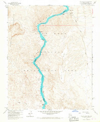
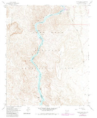
Editions of this 1959 Willow Beach Map
3 editions found
Other maps of this area

1886 · Camp Mohave
USGS Topo · 1:250,000

1892 · Camp Mohave
USGS Topo · 1:250,000

1926 · Nelson
USGS Topo · 1:96,000

1942 · Camp Mohave
USGS Topo · 1:250,000

1947 · Kingman
USGS Topo · 1:250,000

1948 · Kingman
USGS Topo · 1:250,000

1954 · Kingman
USGS Topo · 1:250,000

1955 · Kingman
USGS Topo · 1:250,000

1958 · Kingman
USGS Topo · 1:250,000
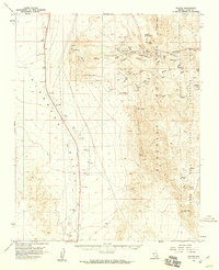
1958 · Nelson
USGS Topo · 1:62,500