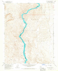
1959 Map of Willow Beach
USGS Topo · Published 1967About this map
Lake Mohave and the Colorado River dominate this desert landscape where the borders of Arizona and Nevada meet within the Black Canyon. Following a field check in 1959, the map captures the hydrologic character of the canyon floor before and after the rise of the river, noting river features such as Shallow Rapids, Roaring Rapids, and the interestingly named Monkey Hole. The topography is defined by the massive Malpais Flattop Mesa to the east and the El Dorado Mountains to the west.
Find a feature on this map
24 named features on this map. Tap any name to fly to it.
Don’t see what you’re looking for? This feature index may not catch every label — zoom into the map to look around manually.
Map Details
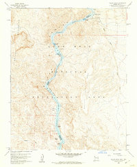
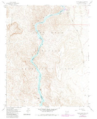
Editions of this 1959 Willow Beach Map
3 editions found
Other maps of this area

1886 · Camp Mohave
USGS Topo · 1:250,000

1892 · Camp Mohave
USGS Topo · 1:250,000

1926 · Nelson
USGS Topo · 1:96,000

1942 · Camp Mohave
USGS Topo · 1:250,000

1947 · Kingman
USGS Topo · 1:250,000

1948 · Kingman
USGS Topo · 1:250,000

1954 · Kingman
USGS Topo · 1:250,000

1955 · Kingman
USGS Topo · 1:250,000

1958 · Kingman
USGS Topo · 1:250,000
1958 · Nelson
USGS Topo · 1:62,500