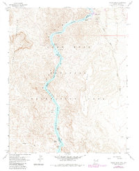
1959 Map of Willow Beach
USGS Topo · Published 1983About this map
The Colorado River carves through the deep trench of Black Canyon along the border of Clark County, Nevada, and Mohave County, Arizona. This mid-century survey captures the river corridor as it transitions into the southern reaches of the Lake Mead National Recreation Area, where the rising waters of Lake Mead meet the remaining white water of Roaring Rapids and Shallow Rapids. At Willow Beach, the presence of a Boat Ramp and a gauging station signifies the area's development as a recreational and hydrological hub during the post-war era.
Find a feature on this map
24 named features on this map. Tap any name to fly to it.
Don’t see what you’re looking for? This feature index may not catch every label — zoom into the map to look around manually.
Map Details
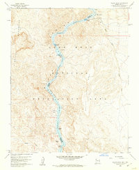
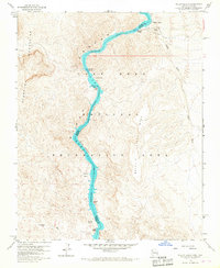
Editions of this 1959 Willow Beach Map
3 editions found
Other maps of this area

1886 · Camp Mohave
USGS Topo · 1:250,000

1892 · Camp Mohave
USGS Topo · 1:250,000

1926 · Nelson
USGS Topo · 1:96,000

1942 · Camp Mohave
USGS Topo · 1:250,000

1947 · Kingman
USGS Topo · 1:250,000

1948 · Kingman
USGS Topo · 1:250,000

1954 · Kingman
USGS Topo · 1:250,000

1955 · Kingman
USGS Topo · 1:250,000

1958 · Kingman
USGS Topo · 1:250,000
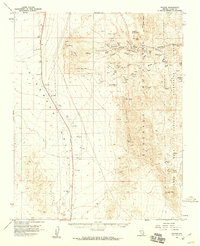
1958 · Nelson
USGS Topo · 1:62,500