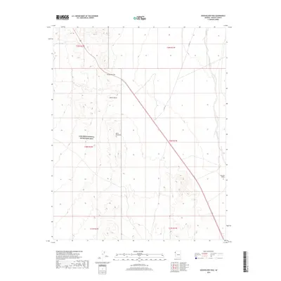
2018 Map of Housholder Pass
USGS Topo · Published 2018About this map
Housholder Pass serves as a critical geographic notch through the Black Mountains in this modern topographical survey of Northwest Arizona. The arid landscape is dominated by the transition from high ridgelines down into the Mojave Desert floor, with a significant portion of the western territory preserved within the Lake Mead National Recreation Area. These desert lands are defined by seasonal drainage patterns, most notably the wide Detrital Wash which flows through the Detrital Valley to the east. Transportation through this remote section of Mohave County is anchored by CO Hwy 143, which navigates the steep elevation changes near the pass. The map provides a clear look at the Public Land Survey System township and range lines, essential for modern property research and understanding the large-scale administrative boundaries of the American West.
Find a feature on this map
13 named features on this map. Tap any name to fly to it.
Don’t see what you’re looking for? This feature index may not catch every label — zoom into the map to look around manually.
Map Details
Editions of this 2018 Housholder Pass Map
This is the sole edition of this map. No revisions or reprints were ever made.
Other maps of this area

1886 · Camp Mohave
USGS Topo · 1:250,000

1892 · Camp Mohave
USGS Topo · 1:250,000

1926 · Nelson
USGS Topo · 1:96,000

1942 · Camp Mohave
USGS Topo · 1:250,000

1947 · Kingman
USGS Topo · 1:250,000

1948 · Kingman
USGS Topo · 1:250,000

1954 · Kingman
USGS Topo · 1:250,000

1955 · Kingman
USGS Topo · 1:250,000

1958 · Kingman
USGS Topo · 1:250,000
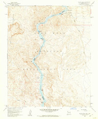
1959 · Willow Beach
USGS Topo · 1:24,000