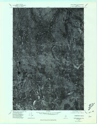
1975 Map of Howe Brook SE
USGS Topo · Published 1981About this map
The Meduxnekeag River flows through this heavily forested portion of Aroostook County, Maine, as it appeared in the mid-1970s. This orthophotoquad provides an overhead view of the wilderness landscape before extensive modern development, showing the winding course of the river alongside North Branch and South Brook. The topography is defined by significant elevations like The Pinnacle, while water bodies such as Carlisle Pond and North Pond are visible amidst the dense tree cover. The network of logging roads and trails visible from the 1975 aerial photography reveals the land's primary use for timber and resource management. Smaller waterways like Smith Brook cut through the terrain, illustrating the intricate drainage patterns of this remote northern Maine region.
Find a feature on this map
7 named features on this map. Tap any name to fly to it.
Don’t see what you’re looking for? This feature index may not catch every label — zoom into the map to look around manually.
Map Details
Editions of this 1975 Howe Brook SE Map
This is the sole edition of this map. No revisions or reprints were ever made.
Other maps of this area

1934 · Bridgewater
USGS Topo · 1:48,000

1935 · Howe Brook
USGS Topo · 1:48,000

1937 · Smyrna Mills
USGS Topo · 1:62,500

1938 · Bridgewater
USGS Topo · 1:62,500

1938 · Houlton
USGS Topo · 1:62,500

1939 · Howe Brook
USGS Topo · 1:62,500

1951 · Houlton
USGS Topo · 1:62,500

1951 · Bridgewater
USGS Topo · 1:62,500

1953 · Bridgewater
USGS Topo · 1:50,000

1954 · Howe Brook
USGS Topo · 1:62,500