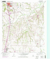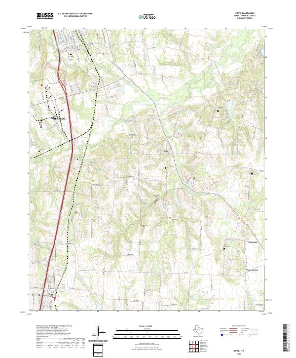
2022 Map of Howe
USGS Topo · Published 2022About this map
Sherman and Howe anchor this Grayson County landscape, where the headwaters of several drainages begin their southern and eastern descent. The terrain is defined by the winding courses of Choctaw Cr and Post Oak Cr, while the southern reaches of the map show the branching origins of W Prong Sister Grove Cr and E Prong Sister Grove Cr. This area maintains a high density of small rural burial grounds, suggesting generations of family homesteads scattered between the larger hubs of Tom Bean and Luella.
Find a feature on this map
124 named features on this map. Tap any name to fly to it.
Don’t see what you’re looking for? This feature index may not catch every label — zoom into the map to look around manually.
Map Details
Editions of this 2022 Howe Map
This is the sole edition of this map. No revisions or reprints were ever made.