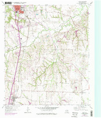
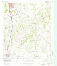
1958 Map of Howe
USGS Topo · Published 1975About this map
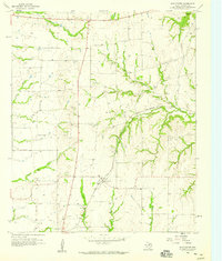
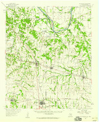
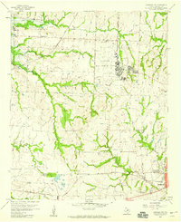
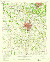
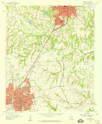
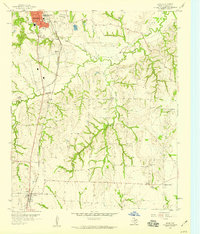
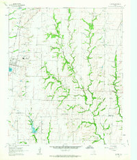
The southern periphery of Sherman and the rural communities of the north Texas blackland prairie are documented here as they appeared in the mid-20th century. The northern edge of the map highlights the urban expansion of Sherman, featuring landmarks such as the George Washington Carver Sch and the Sherman Municipal Airport. The landscape is defined by the winding paths of Post Oak Creek, Choctaw Creek, and Cedar Creek, which separate small agricultural clusters and crossroads settlements like Luella and White Mound. Genealogists and local historians will find significant value in the high density of rural burial grounds scattered throughout the township lines, including Providence Cem, Holloway Cem, and Hilton Cem. The transition of regional transport is evident in the corridors of the Southern Pacific and St Louis San Francisco rail lines, which historically anchored the economy of these small Grayson County farming centers.
Find a feature on this map
21 named features on this map. Tap any name to fly to it.
Don’t see what you’re looking for? This feature index may not catch every label — zoom into the map to look around manually.
Map Details
Editions of this 1958 Howe Map
Other maps of this area

1901 · Denison
USGS Topo · 1:125,000

1954 · Sherman
USGS Topo · 1:250,000
1958 · Dorchester
USGS Topo · 1:24,000
1958 · Whitesright
USGS Topo · 1:62,500
1958 · Sherman NW
USGS Topo · 1:24,000

1958 · Sherman
USGS Topo · 1:250,000
1958 · Sherman
USGS Topo · 1:62,500
1958 · Sherman
USGS Topo · 1:24,000
1958 · Howe
USGS Topo · 1:24,000
1961 · Gunter
USGS Topo · 1:24,000