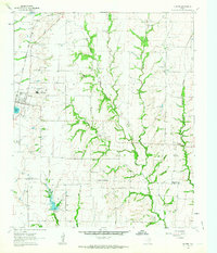
1961 Map of Gunter
USGS Topo · Published 1963About this map
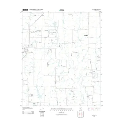
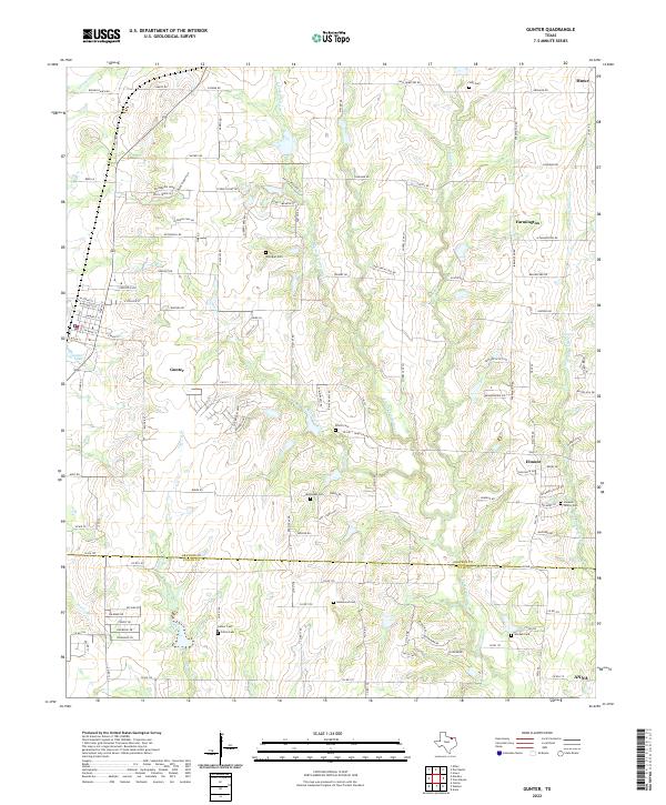
The St Louis San Francisco railroad corridor defines the western edge of this North Texas landscape, passing through the town of Gunter. This 1961 survey provides a clear view of the rural communities and family burial grounds scattered across the Grayson and Collin County line. Small settlements such as Farmington and Elmont are visible, along with several local cemeteries like Hall Cem, Elliott Cem, and Warden Cem that offer important data points for genealogical research. The drainage patterns of the East Fork Trinity River and Squirrel Creek dominate the central terrain, which is also marked by several active Gravel Pits. Near the town center, the presence of a Home for the Aged and the nearby Gunter Lake indicate the localized social and physical infrastructure during the early 1960s.
Find a feature on this map
23 named features on this map. Tap any name to fly to it.
Don’t see what you’re looking for? This feature index may not catch every label — zoom into the map to look around manually.
Map Details
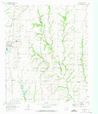
Editions of this 1961 Gunter Map
2 editions found
Historical Maps of Celina Through Time
6 maps found