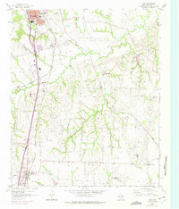
1958 Map of Howe
USGS Topo · Published 1975About this map
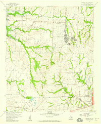
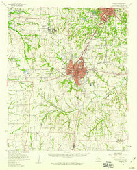
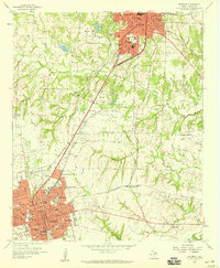
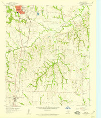
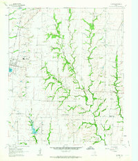
Sherman and Howe anchor this North Texas landscape, illustrating the mid-century expansion of Grayson County. The southern edge of Sherman shows significant urban growth, indicated by purple revisions from 1974, including the Sherman Airport and George Washington Carver Sch. Between these hubs, the terrain is defined by the winding paths of Choctaw Creek and Post Oak Creek, where the Southern Pacific and St Louis San Francisco railroads converge toward the regional centers.
Find a feature on this map
23 named features on this map. Tap any name to fly to it.
Don’t see what you’re looking for? This feature index may not catch every label — zoom into the map to look around manually.
Map Details
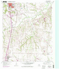
Editions of this 1958 Howe Map
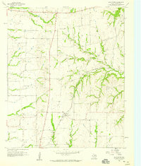
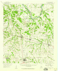
Other maps of this area

1901 · Denison
USGS Topo · 1:125,000

1954 · Sherman
USGS Topo · 1:250,000
1958 · Dorchester
USGS Topo · 1:24,000
1958 · Whitesright
USGS Topo · 1:62,500
1958 · Sherman NW
USGS Topo · 1:24,000

1958 · Sherman
USGS Topo · 1:250,000
1958 · Sherman
USGS Topo · 1:62,500
1958 · Sherman
USGS Topo · 1:24,000
1958 · Howe
USGS Topo · 1:24,000
1961 · Gunter
USGS Topo · 1:24,000