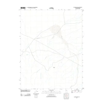
2011 Map of Hu-Pwi Wash
USGS Topo · Published 2011About this map
Gumdrop Hills rise above a landscape defined by seasonal drainage systems in this Mineral County survey. The map centers on the extensive Hu-Pwi Wash, which is joined by the N Fork Hu-Pwi Wash and South Fork Hu-Pwi Wash to the south. These ephemeral waterways, along with the nearby Hidden Wash, illustrate the intricate hydrology of the Nevada desert. Evidence of historic movement through this arid region is seen in Double Springs Rd, which cuts across the northwest, and Greasewood Spring, a critical water point for travelers and local wildlife. The lack of permanent structures emphasizes the area's use for transit and resource management rather than dense settlement at the start of the twenty-first century.
Find a feature on this map
7 named features on this map. Tap any name to fly to it.
Don’t see what you’re looking for? This feature index may not catch every label — zoom into the map to look around manually.
Map Details
Editions of this 2011 Hu-Pwi Wash Map
This is the sole edition of this map. No revisions or reprints were ever made.
Other maps of this area

1908 · Carson Sink
USGS Topo · 1:250,000

1909 · Hawthorne
USGS Topo · 1:250,000

1910 · Carson Sink
USGS Topo · 1:250,000

1911 · Hawthorne
USGS Topo · 1:250,000

1915 · Hawthorne
USGS Topo · 1:250,000

1948 · Walker Lake
USGS Topo · 1:250,000

1951 · Allen Springs
USGS Topo · 1:62,500

1957 · Walker Lake
USGS Topo · 1:250,000

1957 · Reno
USGS Topo · 1:250,000

1959 · Reno
USGS Topo · 1:250,000