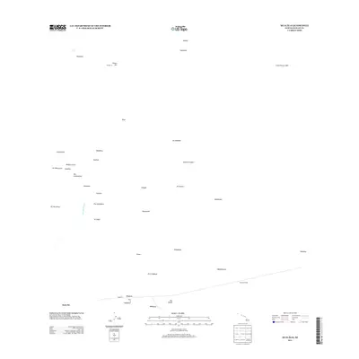
2013 Map of Hualalai
USGS Topo · Published 2013About this map
Hualālai dominates this portion of the Island of Hawai'i, showcasing a landscape shaped by volcanic activity and ancient cultural sites. The map documents the extensive Lava Flow of 1859 stretching across the northeastern terrain, while the Hainoa Crater and various cinder cones like Puu Lalakaukole and Puu Neneakolu punctuate the slopes. This high-elevation environment is marked by significant historical features, including the Ahua'umi Heiau, an important temple site that speaks to the indigenous history of the region.
Find a feature on this map
38 named features on this map. Tap any name to fly to it.
Don’t see what you’re looking for? This feature index may not catch every label — zoom into the map to look around manually.
Map Details
Editions of this 2013 Hualalai Map
This is the sole edition of this map. No revisions or reprints were ever made.
Other maps of this area

1927 · Kaohe
USGS Topo · 1:62,500

1928 · Puako
USGS Topo · 1:62,500

1928 · Kailua
USGS Topo · 1:62,500

1930 · Kaohe
USGS Topo · 1:62,500

1954 · Hawaii North
USGS Topo · 1:250,000

1956 · Keamuku
USGS Topo · 1:24,000

1956 · Puu O Uo
USGS Topo · 1:24,000

1956 · Naohueleelua
USGS Topo · 1:24,000

1959 · Hawaii North
USGS Topo · 1:250,000

1959 · Kiholo
USGS Topo · 1:24,000