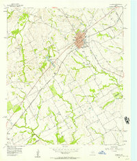
1956 Map of Hubbard
USGS Topo · Published 1957About this map
Hubbard stands as the central hub of this mid-century survey, situated at the junction of the St Louis Southwestern RR and an Old Railroad Grade. The town is well-documented with municipal landmarks including a Po, a Substation, and the Phyllis Wheatly Sch. Beyond the town grid, the landscape transitions into a network of small watercourses like Turkey Creek and Post Oak Creek, eventually feeding into the Navasota River.
Find a feature on this map
32 named features on this map. Tap any name to fly to it.
Don’t see what you’re looking for? This feature index may not catch every label — zoom into the map to look around manually.
Map Details
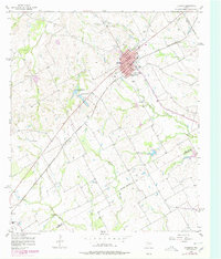
Editions of this 1956 Hubbard Map
Other maps of this area

1920 · Mart
USGS Topo · 1:62,500

1954 · Waco
USGS Topo · 1:250,000

1955 · Waco
USGS Topo · 1:250,000

1956 · Hubbard
USGS Topo · 1:24,000

1956 · Penelope
USGS Topo · 1:24,000

1956 · Axtell
USGS Topo · 1:24,000

1956 · Dawson
USGS Topo · 1:24,000

1957 · Irene
USGS Topo · 1:24,000

1957 · Prairie Hill
USGS Topo · 1:24,000

1957 · Groesbeck
USGS Topo · 1:62,500