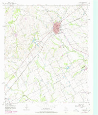
1956 Map of Hubbard
USGS Topo · Published 1978About this map
Hubbard serves as the primary hub of this North Texas landscape, where the St Louis Southwestern Rr intersects the town's grid. The 1950s survey reveals a community organized around its civic and religious institutions, including the Phyllis Wheatly Sch and Cold Corner Ch on the town's southeastern edge. Beyond the settled area, the landscape is defined by the headwaters of several drainages, such as Cottonwood Creek and Hackberry Creek, and the presence of utility infrastructure like a Relay Station and multiple pipelines.
Find a feature on this map
35 named features on this map. Tap any name to fly to it.
Don’t see what you’re looking for? This feature index may not catch every label — zoom into the map to look around manually.
Map Details
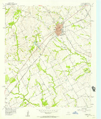
Editions of this 1956 Hubbard Map
Other maps of this area

1920 · Mart
USGS Topo · 1:62,500

1954 · Waco
USGS Topo · 1:250,000

1955 · Waco
USGS Topo · 1:250,000

1956 · Hubbard
USGS Topo · 1:24,000

1956 · Penelope
USGS Topo · 1:24,000

1956 · Axtell
USGS Topo · 1:24,000

1956 · Dawson
USGS Topo · 1:24,000

1957 · Irene
USGS Topo · 1:24,000

1957 · Prairie Hill
USGS Topo · 1:24,000

1957 · Groesbeck
USGS Topo · 1:62,500